How The Generation Forest creates more transparency in their projects with interactive web maps from OpenForests.
The idea of tropical forest investments has its history back in the eighties and sounds simple: Plant trees in tropical countries. Low land prices and high tree growth will yield outstanding returns with precious timber like Teak. However, this oversimplified promise has been misused in several cases.
Reality is more complex. Tropical countries often show non-stable economic environments, corruption, low established infrastructure, and a lack of educated field technicians. Further, foreign investors do not have control over the actual establishment of the forest plantations as reforestation sites are far away even on the other side of the ocean.
There is also a lack of operational transparency. How many trees have been planted, where, and when? This lack of transparency makes it difficult to evaluate risk-benefit-profiles of such investment opportunities.
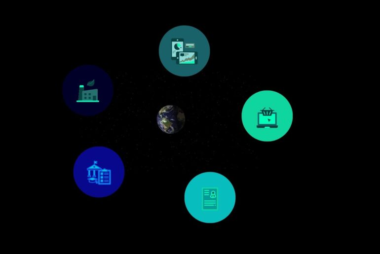
OpenForests, which has been founded in 2011, a team of 11 persons with an interdisciplinary background ranging from forestry, remote sensing, software engineering to communication, has the goal to create more transparency in the forest finance sector. Transparency is built by capturing geolocated project stories and first-hand field data, with mobile apps, drones, and satellite imagery. Captured information is then stored in a centralized database, the Forest Information System, and in some cases made publically available via the OpenForests’ map-based project presentation tool explorer.land.
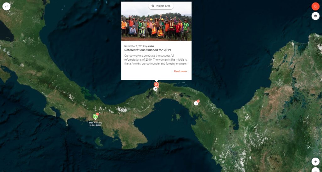
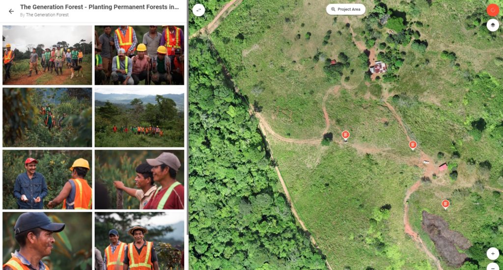
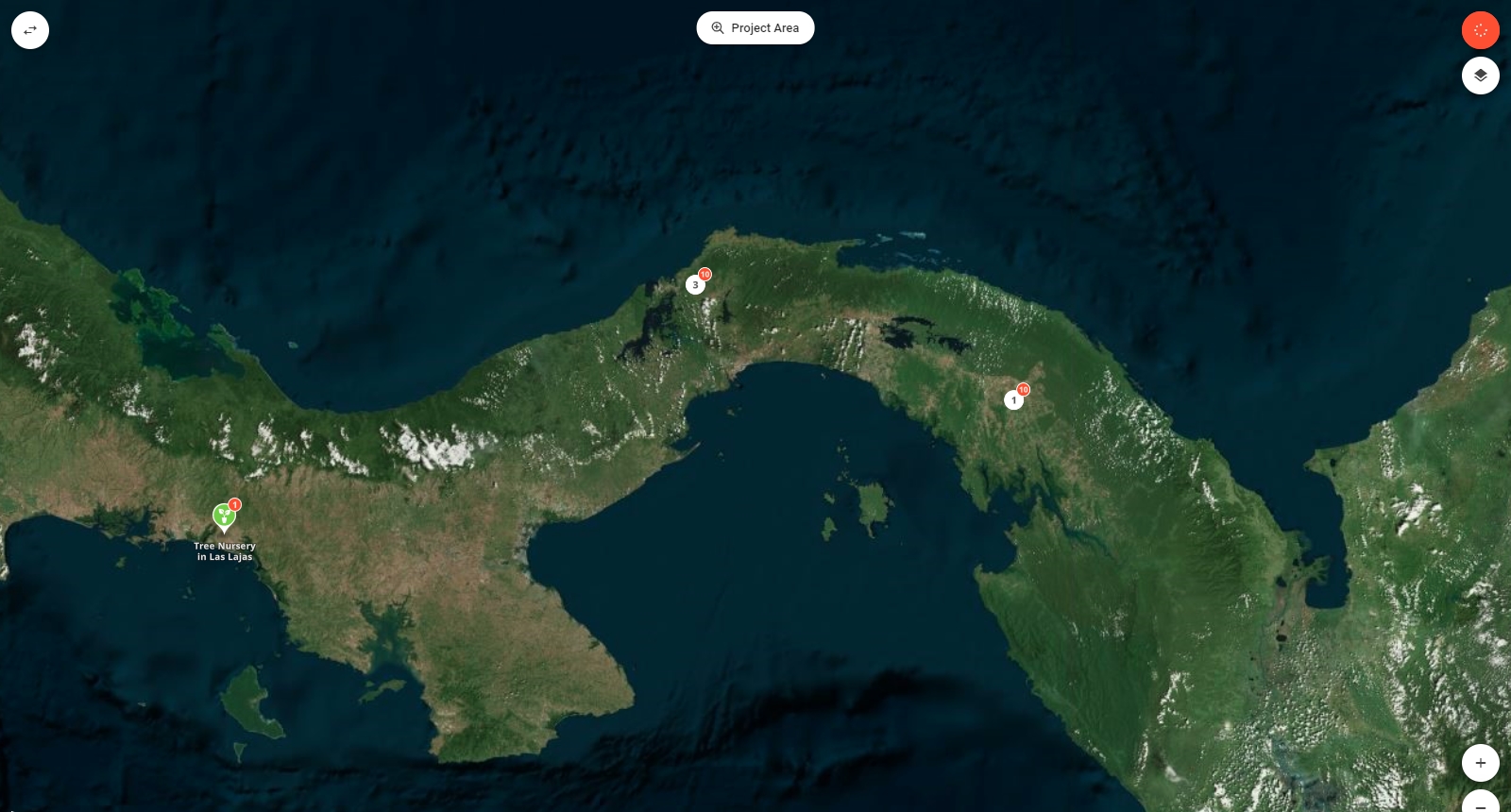
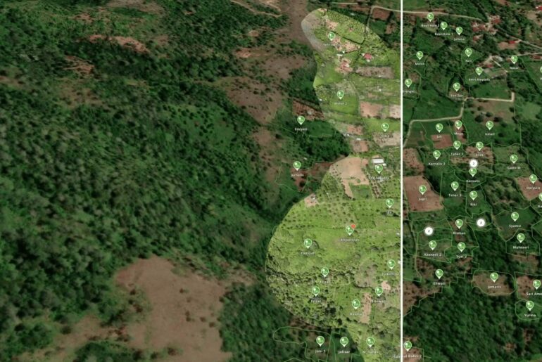
The Generation Forest is a great example of how a patient investors cooperative has financed a diverse forest ecosystem in Panama. To create more transparency on the progress, own high-resolution drone maps and geolocated story posts provide first-hand impressions of the forest restoration activities.
The following screen-shots are previews of The Generation Forest web map that you can explorer yourself.
