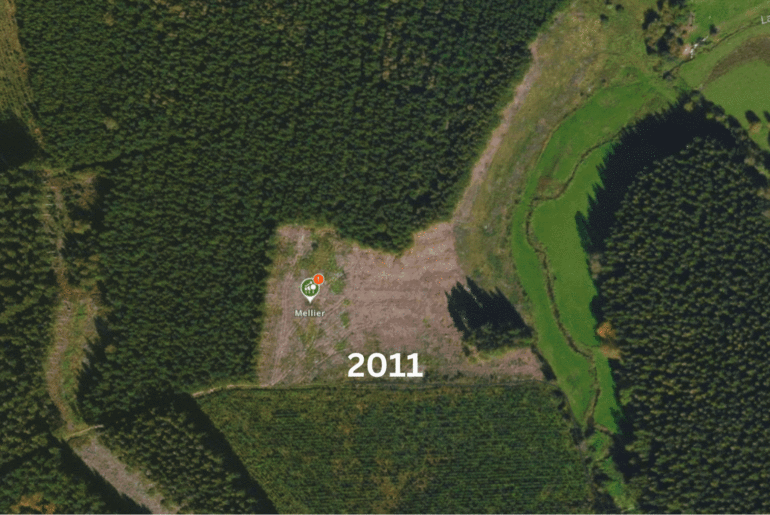
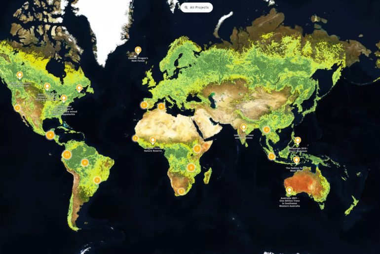
Transparency is the currency that creates trust for long-term support. High-resolution satellite imagery is a powerful and cost-effective data source to show reforestation success on the ground.
Contact us, and we will procure satellite imagery for your area of interest and integrate it into your explorer.land project presentation.
We procure and integrate high-resolution SPOT imagery of 1.5-meter per pixel and Pléiades imagery of 0.5-meter per pixel.
Please write to contact@openforests.com for more information.
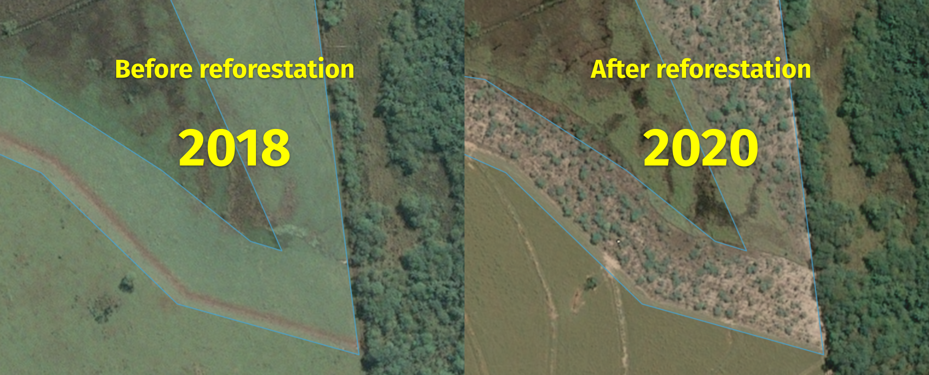
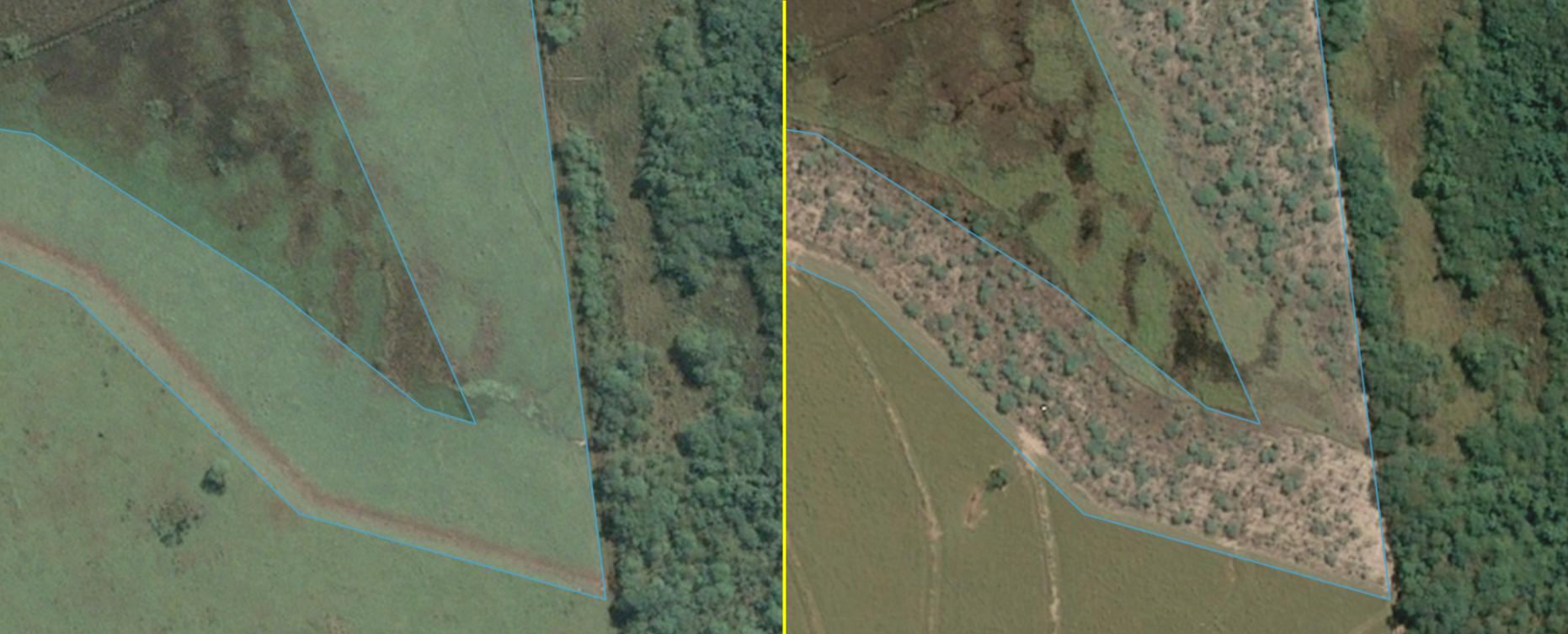
The following example of satellite imagery shows how reforestation can be documented with high-resolution images over time.
