Opening up explorer.land to the broader community for better connections during these challenging times.
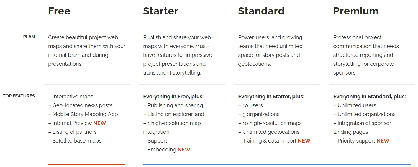
With the Free Plan, you can create beautiful project web maps to share with your internal team or during presentations.
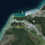
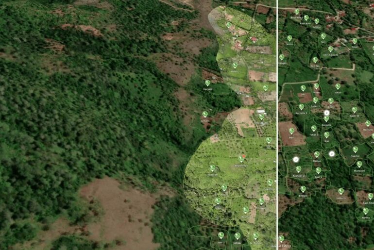
Give your presentation or project story a stronger sense of place whenever you are discussing your work with stakeholders or supporters (e.g., in a video call). With explorer.land, you can add a visible geographic context to your story and immerse your audience in the place where positive change is happening. Maps show your project location and how the land is used. Geolocated blog posts with photos and high-resolution satellite maps allow you to present the impact of your project as it is happening on the ground and over time.
How maps help cultivate relationships with stakeholders
Showing exactly where and how change is happening, in a visually appealing way, enhances transparency and engagement. Transparency helps to build trust and long-term commitment from stakeholders.
We know that nothing can substitute a real project visit, but this is not always possible (especially nowadays with COVID-19). A virtual tour or visit is the next best thing. With explorer.land, you can create vivid maps that constitute a “living” representation of your work through which you can connect with audiences around the world.
Sign up for a Free Plan now and start building more and better connections! No credit card is required.
Find the right plan for your communication team.
Title image: Photo by Esther Tuttle on Unsplash

